
 Loading ...
Albania for tourists: geography, resorts and interesting regions
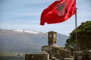 Albania is small in size, but it's easy to combine the sea, old towns, and mountain routes. To understand the logic of the trip, you should first see what it looks like Albania on the map: the country is stretched along the Adriatic and Ionian Seas, and the interior quickly turns into mountains. It is this geography that explains why a vacation in Durres, Ksamil or Tetovo gives completely different impressions.
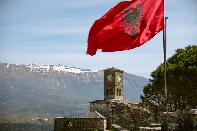
Where is the country located?
Albania is located in Southeastern Europe, in the western part of the Balkan Peninsula. It borders Montenegro, Kosovo, North Macedonia and Greece, and from the west it reaches the Adriatic and Ionian Seas. The area of the country is 28,748 km², the coastline is about 316 km. The question of where Albania is located is also important for the route: the north gravitates towards the Alps, the center towards Tirana and the Adriatic, and the south towards the Ionian coast.
Albania on Google map
Two coasts with different characters
Seaside vacations here should not be perceived as one continuous resort zone. The Adriatic and Ionian parts differ in terrain, beaches, and atmosphere.
Adriatic for a more relaxing vacation
The Adriatic coast is home to many long sandy beaches and gentler stretches of sea. Popular destinations include Durres, Golem, Shenjin and Velipoja. The National Tourism Agency of Albania notes the flatter shoreline and calmer waters of this part of the coast. Durres combines beaches, urban infrastructure and ancient monuments.
A Riviera for panoramas and bays
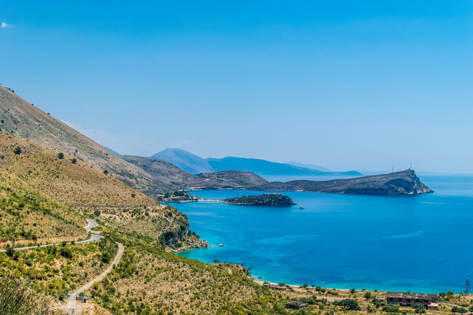
Further south lies the Albanian Riviera, stretching from Vlorë to Saranda and Ksamil. Here the mountains come closer to the sea, with coves, rocky beaches and the resort towns of Dhërmi, Himara, Qeparo and Borsh. The official tourist portal describes the region as a combination of the Ionian coast, mountainous landscapes and traditional settlements.
Which region to choose?
For the first trip Albania map helps to immediately see how different the north, center, and south are.
| Region | What attracts | For what vacation? |
| Durres | sandy beaches, city | family |
| Riviera | bays, panoramas | beach road trip |
| Saranda and Ksamil | sea, Butrint | beaches and excursions |
| Tet and Valbona | Alps, trekking | active |
| Berat and Ghirokastra | historical building | cultural |
This comparison should be seen as a guideline, not a ranking. If time is limited, it is better to explore one part of the country without constant travel.
North for mountain routes
The Albanian Alps are concentrated in the north. Tet lies in a valley in the middle of the mountain range and is known for its routes to the Grunas waterfall, the canyon and the surrounding peaks. Valbona is another key point for trekking. The official tourist portal includes Tet, Valbona and Vermosh among the main zones of the Albanian Alps.
If you look at Albania on a map from a tourist's perspective, the north and south coasts seem relatively close. However, the mountainous terrain affects the duration of the journeys, so it is better to allocate the Alps as a separate part of the route.
Cities worth visiting from the coast
Berat and Gjirokastra show a different side of the country - historic quarters, fortresses and traditional architecture. Both cities are UNESCO World Heritage Sites. Berat stands on the banks of the Osumi River, while Gjirokastra is located to the south, on the slopes above the Drino Valley.
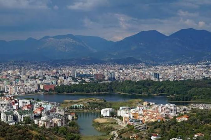
Tirana is a convenient starting or ending point for your trip. The capital is located in the central part of the country and provides access to both the coast and the interior.
How to make an itinerary
It's easier to discover Albania in parts. For a beach vacation, you can focus on the Adriatic or the Riviera, for an active one, on the Northern Alps, and for a cultural trip, build around Tirana, Berat, and Gjirokastra. If you have more time, these destinations can easily be combined, but the route should be planned taking into account the terrain and real travel time.
See more interesting and useful information on the portal: